How to Explore Earth and Space Using Google Maps
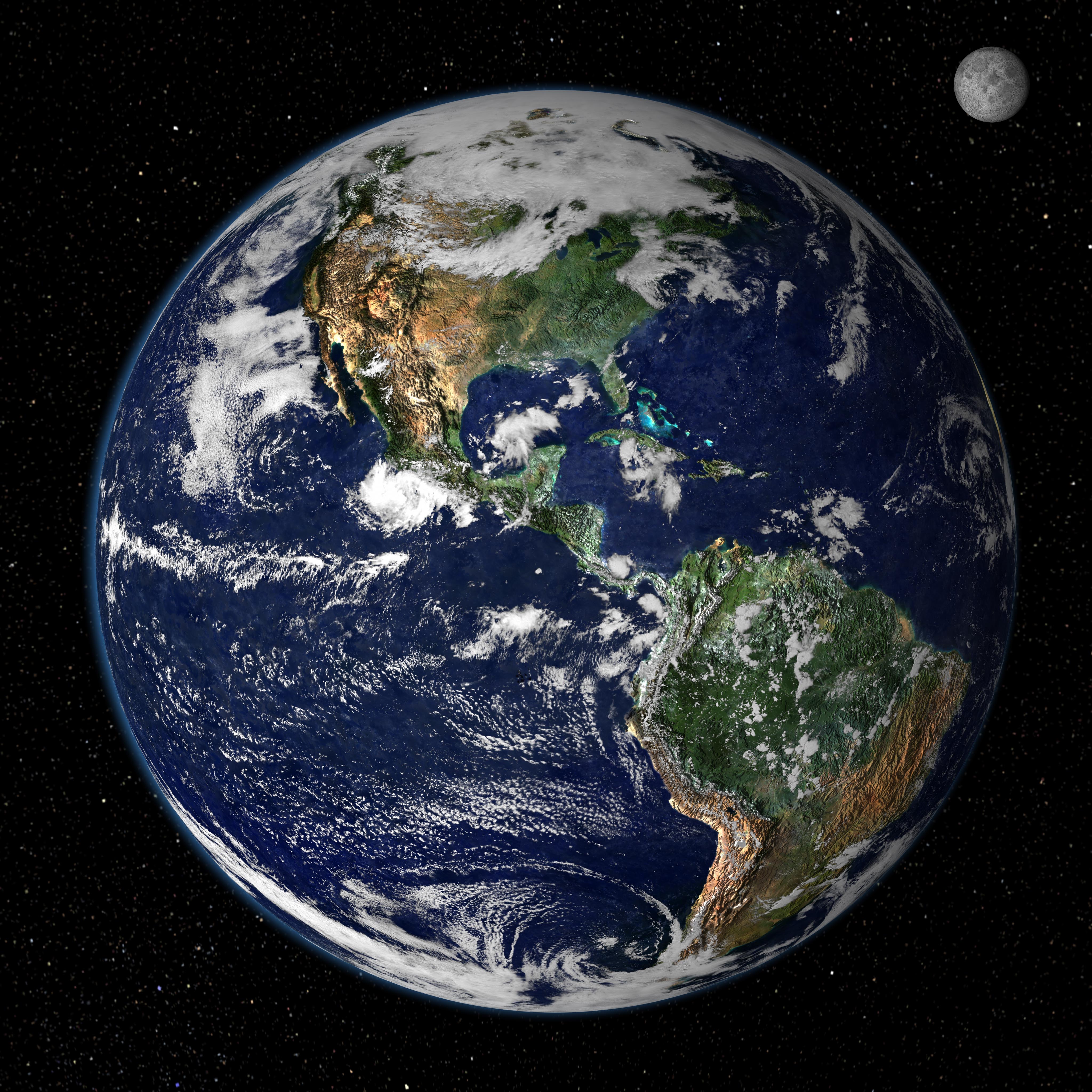
Ever wondered how a single app can take you from the bustling streets of New York to the far‑flung craters of the moon? Google Maps does more than just give directions; it’s a portal to the planet and beyond. Below we’ll walk through the key features, hidden tricks, and practical tips that let you turn a routine map view into a mini‑space expedition.
Why Google Maps Is More Than a Navigation Tool
At its core, Google Maps aggregates satellite imagery, street‑level photos, and terrain data gathered over years. The result is a layered canvas where you can toggle between:
- Satellite view – high‑resolution photos captured from orbit.
- Terrain view – elevation contours that reveal mountains, valleys, and ocean floors.
- 3D buildings – modeled structures that pop out in major cities.
- Space view – a less‑known mode that lets you explore the Moon, Mars, and even the International Space Station.
These layers aren’t just eye candy; they provide context for everything from planning a hike to understanding climate patterns.
Getting Started: The Basics of Earth Exploration
Open Google Maps on your desktop or mobile device and tap the  icon in the lower‑left corner to reveal the layer menu. Choose “Satellite” for true‑to‑life photos, then hit the “Terrain” checkbox to overlay elevation shading.
Pro tip: Double‑click (or double‑tap) a region to zoom in quickly. The more you zoom, the clearer the details become—individual streets, park boundaries, even rooftop gardens start to appear.
Exploring Remote Locations
Curious about a place you’ve never visited? Type the name into the search bar, then drop the zoom slider until you’re looking at a pixel‑size view. You might be surprised to see:
- Desert dunes captured at sunrise.
- Glacier edges slowly retreating over the years.
- Hidden waterfalls that don’t show up on typical travel guides.
These visual cues can inspire everything from a future vacation plan to a school project on geography.
Venturing Into Space: The “Explore Earth & Space” Feature
Not all users know that Google Maps includes a “Space” mode. Here’s how to unlock it:
- Open the side menu (three horizontal lines) and scroll down to “Explore Earth & Space.”
- Select “Moon,” “Mars,” or “ISS” from the submenu.
- Use the same navigation gestures—pinch to zoom, swipe to rotate—to explore these celestial bodies.
When you choose the Moon, you’ll see a detailed topographic map based on data from NASA’s Lunar Reconnaissance Orbiter. Switch to the “Terrain” overlay for a three‑dimensional sense of craters and highlands. The Mars view pulls from the HiRISE camera, giving you crisp images of gullies, dunes, and the famous Olympus Mons.
Why This Matters
Beyond novelty, these space layers serve educational purposes:
- Students can compare Earth’s tectonic features with Martian volcanoes.
- Astronomy enthusiasts can track the ISS’s current position and path.
- Travel bloggers can add a “cosmic” twist to their storytelling.
Advanced Tricks for the Curious Explorer
Once you’re comfortable with the basics, try these lesser‑known techniques to get the most out of your map adventures.
Measure Distances Across Continents
Right‑click (or long‑press on mobile) any point and select “Measure distance.” Click a second point, and Google Maps will draw a line with the exact mileage or kilometer count. This works just as well across oceans—perfect for visualizing the span between New York and Tokyo.
Use Historical Imagery
On desktop, click the clock icon (if available) after selecting Satellite view. A timeline appears, letting you travel back years to see how a coastline has shifted or how urban sprawl has evolved. It’s a quick way to spot environmental changes without digging through research papers.
Blend Street View with Satellite
Drag the orange “Pegman” onto a street to drop into Street View, then click the “Satellite” button in the top‑right corner. The result is a hybrid view where you can see the exact building footprint from above while walking through the scene at ground level. Handy for scouting a venue or checking parking access before a trip.
Practical Applications: From Planning to Learning
Whether you’re a weekend hiker, a geography teacher, or just someone who likes to marvel at the night sky, Google Maps can fit into your routine.
- Trip planning – Map out trailheads, calculate elevation gain, and preview scenic vistas before lacing up your boots.
- Education – Assign students a “virtual field trip” to remote biomes or lunar craters, then discuss findings in class.
- Science projects – Use historical satellite images to chart deforestation or glacier retreat over a decade.
And if you’re feeling extra adventurous, try mapping the ISS’s orbit and predict when it will glow overhead in your city. All of this is just a few clicks away.
Common Pitfalls and How to Avoid Them
Even the most polished tools have quirks. Here are a couple of hiccups you might run into:
- Blurry images at extreme zoom. Satellite resolution caps at a certain level, so you won’t see individual cars in remote deserts. Switch to “Terrain” for better context when the picture gets pixelated.
- Outdated street data. Construction zones or new bike lanes may not appear instantly. Cross‑check with local transit apps if you need the latest info.
- Space mode latency. Loading Mars or Moon imagery can take a few seconds on slower connections. Patience—and a good Wi‑Fi spot—helps.
Wrapping Up: Your Next Digital Expedition
Google Maps transforms a simple map into a discovery engine that bridges Earth and the cosmos. By mastering layer toggles, measurement tools, and the hidden “Space” menu, you’ll find yourself wandering from coastal cliffs to cratered moonsides without leaving your chair. So, the next time curiosity strikes, open Google Maps, pick a point on the globe—or beyond—and let the journey begin.
![How Do You Zoom In and Close on Google Earth?[Informative] - Gearth Hacks](https://gearthhacks.com/wp-content/uploads/2023/02/imageedit_1_6255314201.png)

