How to Follow Real‑Time River Stage During a Hurricane
When a hurricane barrels toward a river‑bound community, the water level becomes the most urgent piece of information anyone can get. A rising stage can mean flooded roads, threatened homes, and a sudden need to evacuate. Thanks to live‑stream technology, you no longer have to rely on a distant radio broadcast or a static gauge reading. You can watch the river rise in real time from the comfort of your couch—or from a portable device while you’re on the move.
Why Live Streams Matter More Than Traditional Updates
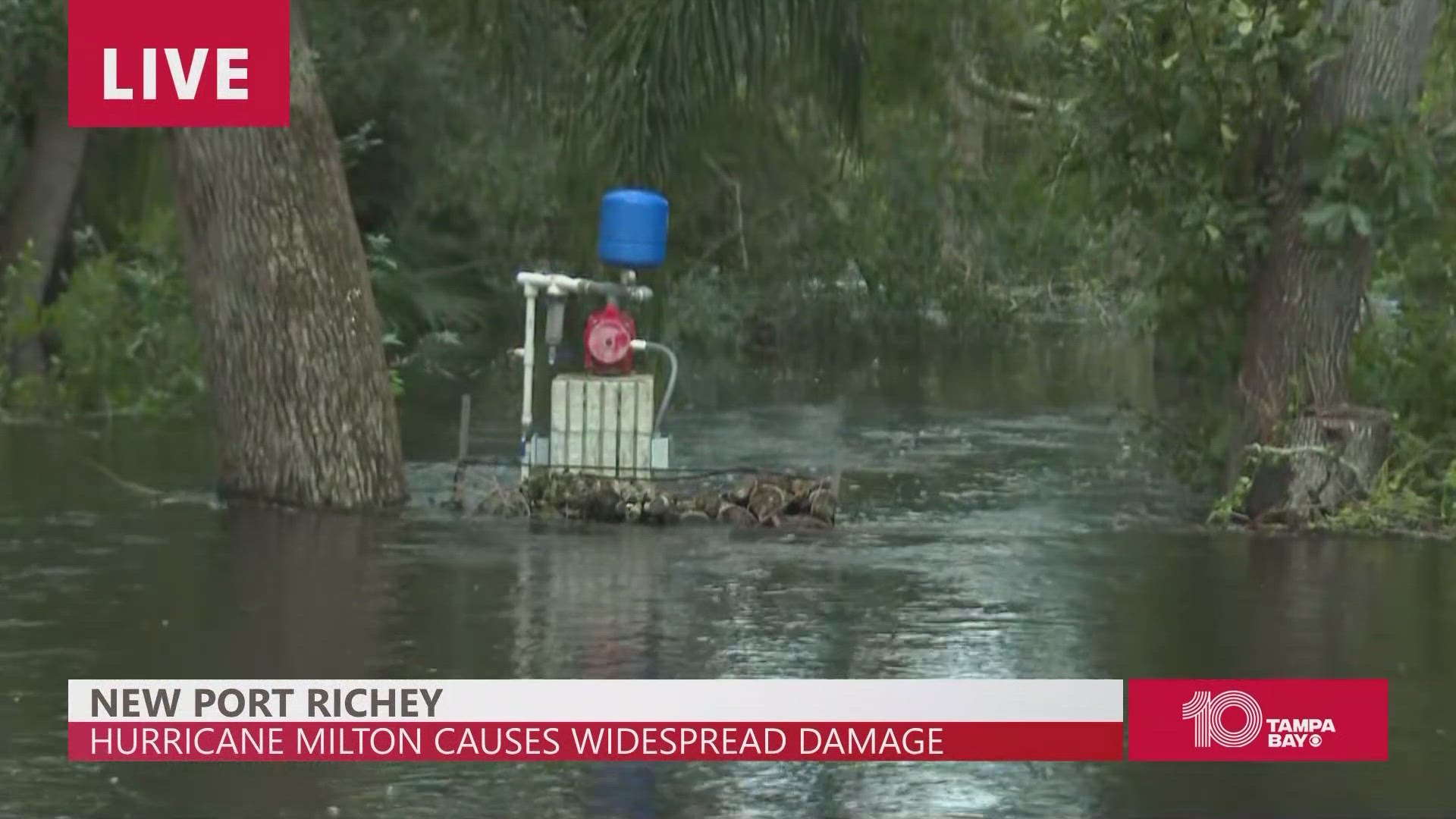
Traditional flood warnings often arrive after the water has already crept onto streets. A live stream, by contrast, offers a visual cue that’s hard to ignore. You see the flow, the debris, the speed of the current, and you can gauge the danger before the official alert sounds. It’s not just about timing; it’s about context.
- Visual confirmation removes the guesswork that comes with numeric stage readings.
- Instant accessibility—most platforms work on smartphones, tablets, and computers with no special software.
- Community engagement—viewers often share comments, adding local insights that official agencies might miss.
Finding a Reliable Stream
Not every river cam is created equal. Here’s a quick checklist to help you separate the trustworthy from the shaky:
Official agency channels
State or federal agencies such as the National Weather Service, USGS, or local emergency management offices usually host the most reliable feeds. Their cameras are positioned at calibrated gauge points, and they often overlay the current stage height directly on the video.
Local news stations
Many regional TV stations have installed river cams as part of their weather coverage. These streams tend to be high‑definition and are maintained by professionals, meaning fewer outages during the storm.
Community‑run streams
Enthusiasts and citizen groups sometimes set up their own webcams. While the image quality can vary, these streams often capture angles that official cameras miss—like a bridge deck or a low-lying park.
When you land on a stream, check for a clear timestamp, a water‑level legend, and a brief description of the camera’s location. If any of these are missing, consider it a red flag.
How to Monitor the River Stage Effectively
Having the stream is only half the battle; you need a system to interpret what you see. Below are a few practical steps.
- Identify the gauge reference. Most streams label the current stage, for example “4.2 ft.” If the label isn’t present, you can often find a reference point in the corner of the video—a marker on a bridge pier or a posted sign.
- Set a visual benchmark. Pick a static object in the frame—a railing, a road edge, or a tree line. As the water rises, you’ll quickly notice how far it has moved relative to that object.
- Use a timer. Check the stream at consistent intervals—every 15 minutes if the storm is active, or every hour once it eases. Consistency helps you spot trends rather than isolated spikes.
- Cross‑check with official data. Even if you’re watching a community cam, compare its reading with the nearest USGS gauge. Discrepancies can signal a camera malfunction or a localized surge.
Staying Safe While Watching
It’s easy to become glued to a screen, but safety should always stay front‑and‑center.
Power and connectivity
Storms love to knock out electricity and internet. Keep a portable charger, a battery‑powered hotspot, or even a simple radio as a backup. If the stream drops, you’ll still have a way to get updates.
Avoid false security
A calm river in the feed doesn’t guarantee safety downstream. Water can back up quickly, especially if a tributary or drainage system clogs. Treat the live view as a snapshot, not a guarantee.
Plan an evacuation route
Knowing the river’s behavior is only useful if you have a plan when it gets too high. Identify higher ground, keep a bag packed, and share your route with family members.
Using Social Media to Enhance Your Stream
Many platforms embed live streams directly into Facebook, Twitter, or YouTube. This integration lets you tap into real‑time comments from locals who might spot a flooded road before the official alert.
Pro tip: Follow the hashtag #RiverWatch (or the local equivalent) during a hurricane. You’ll often find on‑the‑ground photos, traffic updates, and even temporary road closures posted by residents.
What to Do When the Stream Goes Dark
A sudden loss of video can happen for several reasons—power failure at the camera site, damaged fiber lines, or intentional shutdowns for safety. Here’s a quick fallback plan:
- Switch to the nearest USGS real‑time gauge page.
- Check the local National Weather Service “Flood Watch” page for textual updates.
- Listen to a NOAA Weather Radio on a battery‑powered receiver.
Having multiple sources ensures you’re not left in the dark when the river finally decides to make its move.
Key Takeaways
- Live streams give you visual, up‑to‑the‑minute insight that numbers alone can’t provide.
- Prioritize feeds from official agencies, reputable news stations, or well‑maintained community cams.
- Combine visual cues with official gauge data for the most accurate picture.
- Maintain backup power and communication methods—storms love to cut the line.
- Stay ready to act; the river can rise faster than you expect.