How to Use Baton Rouge’s Live Traffic Map and Camera Feed
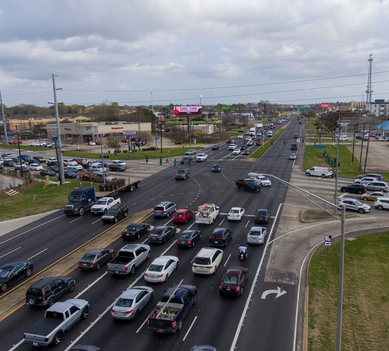
Whether you’re dodging rush‑hour congestion or simply curious about what’s happening on the road, Baton Rouge’s live traffic cameras give you a real‑time glimpse of the city’s arteries. Below is a practical walk‑through of where to find the map, how to interpret the images, and a few tricks to make the most of the service.
Where the Live Traffic Map Lives
The official portal is hosted by the Louisiana Department of Transportation and Development (DOTD). A quick search for “Baton Rouge traffic map” lands you on a page that bundles a geographic map with thumbnail feeds from dozens of cameras.
- URL: https://wwwsp.dotd.la.gov/Traffic/LiveMap
- Accessible on desktop browsers and mobile devices (no dedicated app required).
- Features a filter to show only cameras, only road closures, or a combined view.
Understanding the Camera Layout
Each camera thumbnail is placed on the map at its actual intersection. Clicking a thumbnail expands it to a larger live view, and a timestamp tells you exactly when the image was captured.
- Color cues: Green outlines usually indicate free‑flowing traffic; orange or red hints at slower movement or incidents.
- Zoom controls: Use the plus/minus icons or pinch‑zoom on touchscreens to focus on a specific corridor.
- Legend: The map includes symbols for construction zones, accidents, and traffic signals.
Tips for Real‑World Navigation
Having the map is one thing; turning it into a smarter commute is another. Here are a few habits that pay off.
1. Check before you leave
Open the live map 10‑15 minutes before you head out. A sudden construction lane closure often shows up on the camera before GPS apps update.
2. Combine with traffic‑aware apps
Most navigation apps still rely on aggregated data, but pairing them with the live camera feed can confirm whether a reported jam is still active or already cleared.
3. Use the “Save Location” feature
On the DOTD site you can bookmark frequently traveled routes. The next time you open the map, those cameras are highlighted automatically.
4. Watch for weather‑related slowdowns
Rainstorms or fog often make their presence obvious on camera—low visibility, water pooling, or a line of brake lights. Adjust your speed accordingly.
Alternative Sources for Baton Rouge Traffic
If the DOTD page is down or you need a second opinion, consider these options.
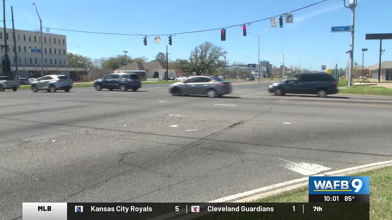
- Local news stations: Many broadcast live feeds during peak hours.
- Social media: The city’s official Twitter account posts real‑time alerts with camera snapshots.
- Third‑party platforms: Websites like Waze or Google Maps often overlay live camera images when available.
Common Questions
Do the cameras work at night? Yes—most are equipped with low‑light sensors, though images can appear grainier after dark.
Is there a delay? The feed updates roughly every 30 seconds, which is fast enough for most commuter decisions.
Can I view the feed on a TV? Some smart TVs let you open a web browser and load the DOTD page directly, turning your living room into a traffic command center.
Final Thought
While nothing beats actually being on the road, Baton Rouge’s live traffic cameras provide a window that’s surprisingly detailed. By integrating the map into your daily routine, you’ll avoid surprise snarls, save a few minutes, and maybe even spot an interesting roadside event along the way.