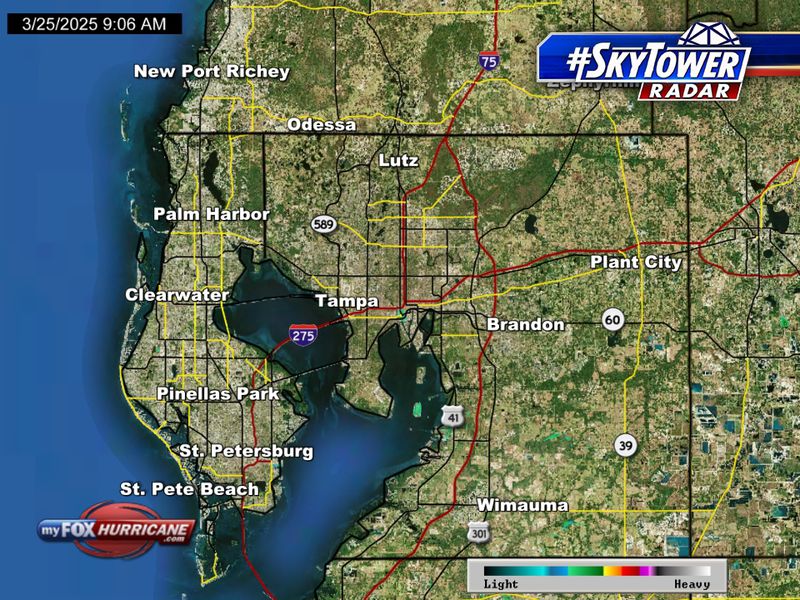
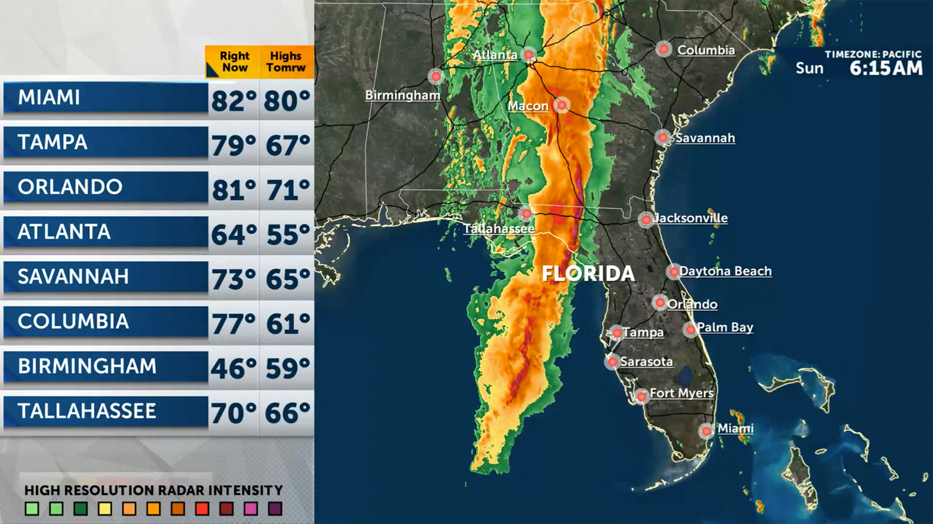
How to Use Fox 13’s Real‑Time Radar for Florida Forecasts
When you’re planning a beach day, a road trip, or just figuring out whether to bring an umbrella, the last thing you need is a vague, “maybe‑rain” guess. Florida’s weather can shift in the blink of an eye, and the best way to stay ahead of those changes is to plug into the live radar that Fox 13 offers. Below we’ll walk through the radar’s main features, show you how to interpret the colors and icons, and give a few practical tips for turning raw data into a usable forecast.
What Sets Fox 13’s Radar Apart?
Fox 13 doesn’t just pull generic satellite images from a distant source. Their radar is:
- Updated every few minutes – you get fresh data almost as fast as the storm itself moves.
- Localized for Florida – the system focuses on the state’s unique micro‑climates, from the panhandle’s Gulf breezes to the Everglades’ swampy moisture.
- Layered with additional info – temperature, wind speed, and precipitation type appear as overlays you can toggle on or off.
Because the radar is calibrated to the Sunshine State’s geography, you’ll often see more detail than the national feeds you might be used to.
Getting Started: The Interface in Plain English
The first time you land on the Fox 13 radar page, a few controls pop up at the top:
- Zoom – drag the slider or use the +/– buttons to focus on a specific county.
- Time Slider – slide left to see what’s happened over the past hour, right to peek into the next couple of hours.
- Layers – check boxes for rain intensity, storm tracks, and radar reflectivity.
Don’t feel pressured to fiddle with everything. A quick zoom to your city and a glance at the current rain‑intensity layer often tells you whether a thunderstorm is already brewing nearby.
Decoding the Colors and Symbols
Most users stumble at the rainbow of hues. Here’s a quick cheat sheet:
- Light blue – Light drizzle or isolated showers.
- Green – Moderate rain, usually under 0.2 inches per hour.
- Yellow – Heavier rain; expect a few inches if it sticks.
- Orange to red – Intense downpours, possible hail, and strong gusts.
- Purple/black – Extreme, radar‑detected storms that could bring flash flooding.
Icons like a lightning bolt or a wind‑swoosh appear when the radar detects severe weather warnings. Clicking an icon opens a mini‑popup with the official National Weather Service advisory.
Practical Ways to Use the Radar
Whether you’re a weekend fisherman or a commuter, these scenarios illustrate how the radar can become your weather sidekick:
1. Planning a Day at the Beach
Zoom in on the coastline you intend to visit. If the radar shows a green‑to‑yellow band moving inland within the next hour, pack a waterproof beach umbrella and keep an eye on the tide. A sudden shift to orange or red warns you to head back early.
2. Avoiding Traffic Jams During Rain
Open the radar on your commute route and activate the traffic overlay (if available). Heavy rain bands often correlate with slower speeds and accidents. Adjust your departure time by 15‑20 minutes, or consider an alternate highway.
3. Keeping an Eye on Tropical Systems
When a tropical depression or hurricane approaches Florida, the radar will display a large, swirling mass of colors. Use the time slider to watch the system’s projected path. Pair this with the official forecast page linked beneath the radar for an up‑to‑the‑minute outlook.
Tips for Getting the Most Accurate Snapshot
- Refresh manually if you notice a lag; the auto‑refresh interval can be set to 5 minutes or less.
- Combine radar data with local station observations (temperature, humidity) shown on the sidebar for a fuller picture.
- Remember that radar shows where precipitation is, not necessarily where it will fall next. A strong downdraft can push rain sideways.
- If you see a “radar anomaly” message (usually a gray patch), it often means the radar beam is blocked by terrain—common in north‑west Florida’s hilly areas.
Beyond the Radar: When to Trust Other Sources
The radar is fantastic for short‑term, hyper‑local conditions, but it isn’t a substitute for longer‑range forecasts. For planning a weekend getaway a week out, check Fox 13’s 7‑day outlook or the National Weather Service’s zone forecast. Those products incorporate model data that radar alone cannot predict.
Quick Checklist Before You Head Out
Save this short list on your phone. A few taps on the radar, and you’ll have a solid sense of what the sky will do next:
- Zoom to your exact location.
- Check the current rain‑intensity layer.
- Slide the time bar forward 30 minutes.
- Look for any lightning or wind icons.
- Cross‑reference with the latest NWS advisory.
That’s all it takes to turn a confusing cloud of data into a clear, actionable forecast.