Why Tornadoes Hit Certain Parts of Mexico and How They Form
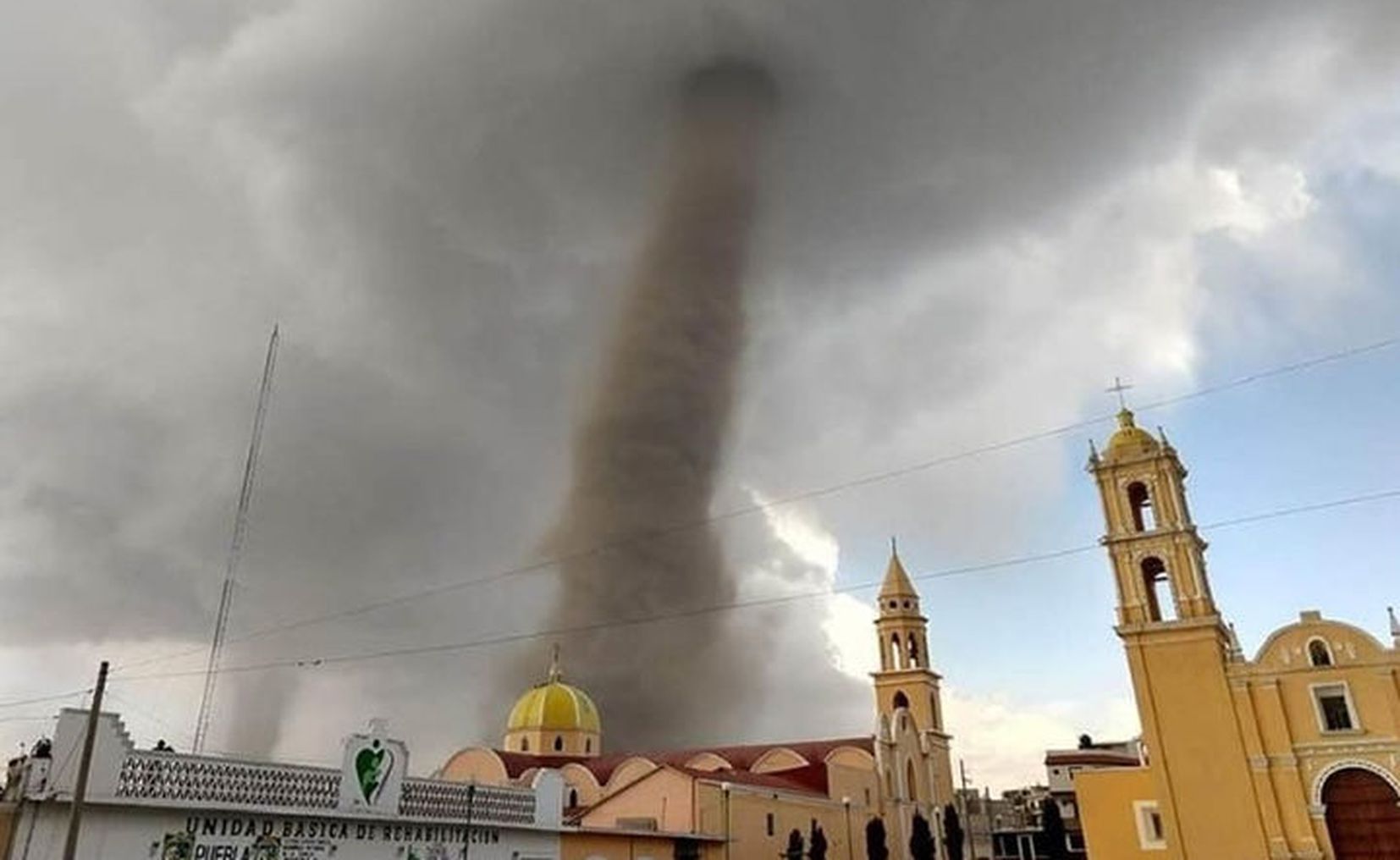
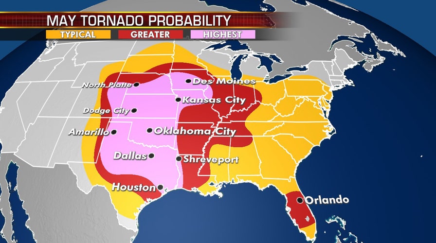
When you picture a tornado, the Great Plains of the United States usually come to mind. Yet Mexico, with its sweeping coastlines and rugged interiors, is no stranger to these whirling columns of air. Understanding where they tend to appear and the meteorological recipe that brews them helps demystify a phenomenon many assume is exclusive to the U.S.
Geographic hot spots
Mexico’s tornado activity isn’t spread evenly. A few regions see the bulk of reported events:
- Gulf Coast states – Veracruz, Tabasco, and Tamaulipas sit along the warm waters of the Gulf of Mexico, a classic breeding ground for severe storms.
- Yucatán Peninsula – The flat terrain and frequent tropical disturbances make Quintana Roo and Yucatán vulnerable, especially during hurricane season.
- Northern plateau – Chihuahua and Coahuila, though far from the sea, occasionally experience tornadoes tied to cold fronts sweeping down from the north.
In contrast, the heavily forested Sierra Madre ranges and the arid Baja California Peninsula report far fewer tornadoes, mainly because the topography disrupts the organization of storm cells.
What drives a Mexican tornado?
At its core, a tornado needs three ingredients: moisture, instability, and wind shear. Mexico’s geography supplies the first two in abundance, while the third arrives in distinct ways depending on the region.
Moisture – the Gulf’s generous gift
Warm, humid air pours northward from the Gulf of Mexico, especially from June through October. Sea surface temperatures often exceed 28 °C (82 °F), fueling thunderstorms that can quickly intensify.
Instability – when hot air meets cool air
Daytime heating over the lowlands creates a steep temperature gradient. If a cold air mass dips southward—say, from the Rockies or a passing cold front—the resulting clash sparks powerful updrafts. Those updrafts are the engine behind supercell thunderstorms, the most prolific tornado producers.
Wind shear – the twisting force
In the Gulf region, the prevailing southerly flow meets westerly breezes that develop over the highlands. This creates a horizontal spin that a strong updraft can tilt into the vertical, birthing a tornado. Up north, the jet stream’s occasional dip adds another layer of shear, explaining the sporadic tornadoes in Chihuahua and Coahuila.
Seasonal patterns
Mexico doesn’t have a single tornado season; it mirrors the broader climate cycles that govern its weather.
- Summer (June–August) – Peak convection over the Gulf and Yucatán produces the most frequent tornadoes, often linked to isolated thunderstorms rather than full‑blown supercells.
- Fall (September–October) – Hurricane remnants can spawn tornadoes as they move inland, especially in Veracruz and Tabasco.
- Winter (December–February) – Rare, but cold fronts from the north sometimes trigger brief tornadoes in the northern plateau.
Why some areas stay relatively untouched
Mountain ranges act like natural windbreaks. When moist air is forced upward along steep slopes, it cools and releases its moisture as rain before it can organize into the towering storms needed for tornado formation. Similarly, the desert environments of northern Sonora and the Pacific coast lack the warm, humid air masses that feed severe thunderstorms.
Notable Mexican tornado events
While Mexico doesn’t keep a comprehensive tornado database like the U.S., several incidents have drawn attention:
- July 2011 – A brief EF‑0 tornado touched down near Veracruz, uprooting trees and damaging roofs.
- October 2017 – Hurricane Nate’s remnants generated a series of short‑lived tornadoes across Tabasco, prompting evacuations in low‑lying districts.
- May 2020 – An isolated supercell in Chihuahua produced an EF‑1 tornado that carved a narrow path through farmland.
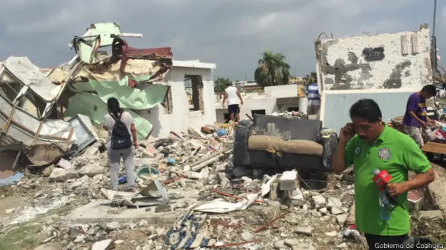
These events illustrate that even a single tornado can cause meaningful disruption, especially in rural communities where building standards may not account for such winds.
How residents can stay prepared
Preparedness doesn’t require a full‑blown tornado drill, but a few practical steps make a difference:
- Stay informed – Local weather radios and the Servicio Meteorológico Nacional issue alerts when severe thunderstorms are forecast.
- Identify shelter – A basement or interior hallway without windows offers the best protection.
- Secure loose objects – Strong gusts can turn everyday items into dangerous projectiles.
- Know the signs – A rapidly darkening sky, a loud roar, or a visible funnel are all warning signs that a tornado may be forming.
Looking ahead
Climate projections suggest warmer sea surface temperatures in the Gulf could increase the frequency of moisture‑laden storms. Coupled with potentially more extreme temperature swings, the ingredients for tornadoes may become more common in certain Mexican locales. Ongoing research aims to refine prediction models, but for now, awareness remains the community’s strongest tool.