How to Read This Week’s Atlantic Tropical Weather Discussion
Every Monday the National Hurricane Center (NHC) releases a narrative that sums up the current state of the Atlantic basin—known as the weekly tropical weather discussion. For seasoned forecasters it’s a staple; for casual fans it can feel like a wall of jargon. This guide walks you through the key sections, highlights what to watch for, and shows how to turn that dense text into a clear picture of the storms (or lack thereof) shaping the upcoming week.
Why the Discussion Matters
The weekly discussion is more than a status report. It blends satellite observations, model guidance, and on‑the‑ground insights to outline:
- Which tropical waves are likely to develop.
- How existing depressions or storms might evolve.
- The confidence level the NHC has in its forecasts.
Understanding these elements helps you gauge the risk of tropical cyclones affecting land, plan travel, or simply stay informed about the ocean’s mood.
Breaking Down the Structure
Most weekly discussions follow a predictable layout. Here’s a quick map:
1. Overview
This opening paragraph sets the scene—sea‑surface temperatures, large‑scale wind patterns (like the Atlantic Madden‑Julian Oscillation), and any noteworthy anomalies. Look for phrases such as “moderately favorable” or “marginally supportive,” which hint at the overall environment.
2. Individual System Summaries
Each tropical wave, depression, or storm gets its own mini‑section. The format typically includes:
- Current position (latitude/longitude).
- Intensity (winds, pressure).
- Forecast track and intensity outlook.
- Model consensus—which global models agree or diverge.
If a system is labeled “invest” (e.g., Invest 92L), it means the NHC is monitoring it but hasn’t named it yet.
3. Outlook and Confidence
At the bottom, the discussion will note the level of confidence (high, medium, low) and any “watch‑out” scenarios. This is where you’ll see language like “subject to considerable uncertainty” or “ensemble spread suggests divergent solutions.” Those cues are golden for deciding how seriously to weight a particular forecast.
Spotting the Meteorological Red Flags
Not every wave becomes a storm, but a few tell‑tale signs can raise the odds:
- Warm ocean waters above 26.5 °C extending to depth—fuel for convection.
- Low vertical wind shear—allows a system’s core to stay intact.
- Mid‑level moisture—dry air can choke development.
- Synoptic triggers such as an upper‑level trough that can enhance spin.
When the discussion highlights several of these together, it’s often a cue that a system could intensify within 48–72 hours.
Using Model Guidance Wisely
The NHC references a suite of global and regional models: GFS, ECMWF, UKMET, and the high‑resolution HWRF. Rather than treating any single model as gospel, compare their tracks:
- If most models agree on a general path, confidence rises.
- Wide divergence—especially in intensity—signals a “low confidence” label.
- Pay attention to the “ensemble mean” mention; it smooths out outliers.
Remember, models are updated every six hours. A sudden shift in consensus after a new run can cause the discussion to be revised later in the week.
Practical Tips for the Casual Reader
Here’s a quick cheat sheet you can keep on a sticky note:
- Look for “favorable” or “supportive”—means conditions are ripe.
- “Uncertainty” or “low confidence”—take forecasts with a grain of salt.
- Invest numbers—these are the seedlings; watch for rapid organization.
- Model agreement—the more models point the same way, the more likely it is.
With these cues, you can skim the dense paragraph and still walk away with the essential takeaways.
Behind the Scenes: How Forecasters Reach Their Conclusions
Behind every line is a blend of human expertise and computer crunching. Analysts examine satellite loops, reconnaissance aircraft data, and surface observations. They then compare these real‑world inputs with model output, adjusting for known biases. For example, the ECMWF often handles mid‑latitude trough interactions better than the GFS, so forecasters might weight its guidance more heavily in certain scenarios.
This collaborative process explains why the discussion sometimes says, “while most models suggest a westward motion, we favor a more southwestward track due to the prevailing steering flow.” It’s a transparent way of showing the thought process rather than just spitting out a raw model run.
What to Expect This Week
Based on the latest release, the Atlantic basin is currently under a weakly favorable regime. Sea‑surface temperatures are hovering around 28 °C in the Main Development Region, but a modest trough lingering over the Caribbean injects a bit of shear. Two invests—93L in the central Atlantic and 94L near the Bahamas—show signs of gradual organization. The NHC notes medium confidence for 93L to become a tropical depression by Thursday, while 94L remains low confidence.
Aside from these, the discussion mentions a gentle northward shift in the subtropical ridge, which could steer any developing system more toward the Gulf of Mexico later in the week. Keep an eye on the next model cycle (typically Thursday evenings) for any sharp changes.
Turning Discussion Insights Into Action
If you’re living in the Caribbean, the Gulf, or the eastern seaboard, here’s how to translate the discussion into real‑world steps:
- Set up alerts on reliable weather apps that use NHC data.
- Check local emergency management sites daily—some issue watches before the NHC issues official advisories.
- Review evacuation routes now, not when a watch is issued.
Even if you’re just a beach‑goer planning a weekend trip, knowing whether a wave might bring some rain or an unexpected squall can help you pack smarter.
Where to Find the Full Discussion
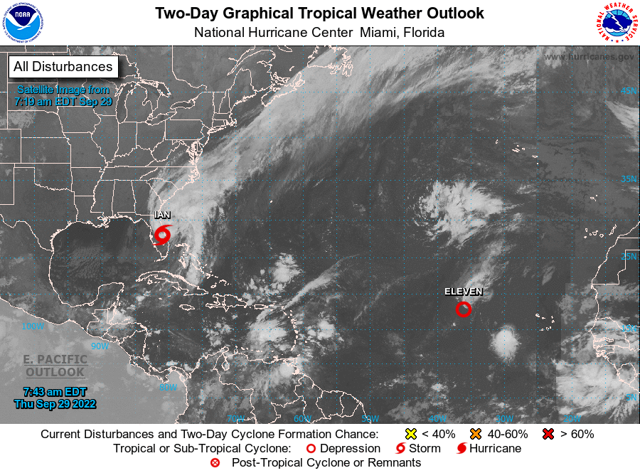
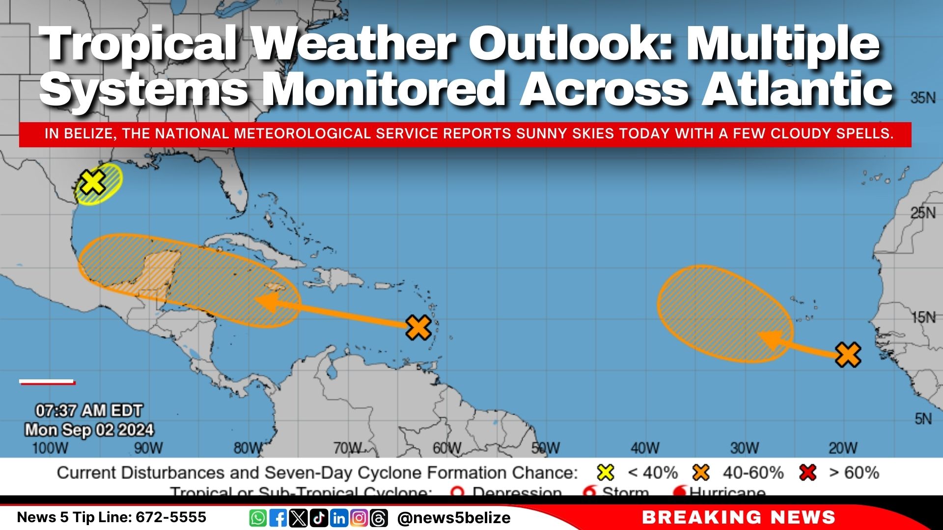
The weekly narrative is posted on the NHC’s Atlantic Tropical Weather Discussion page every Monday at 5 p.m. EDT. It’s available in plain text and PDF formats. If you prefer a quick visual, the accompanying two‑day graphical outlook condenses the key points into a map.
Final Thought
The weekly Atlantic tropical weather discussion may look dense, but once you know where to look, it becomes a powerful tool. By focusing on the environmental cues, model consensus, and confidence language, you can separate the hype from the genuine threat and stay a step ahead of the season’s whims.