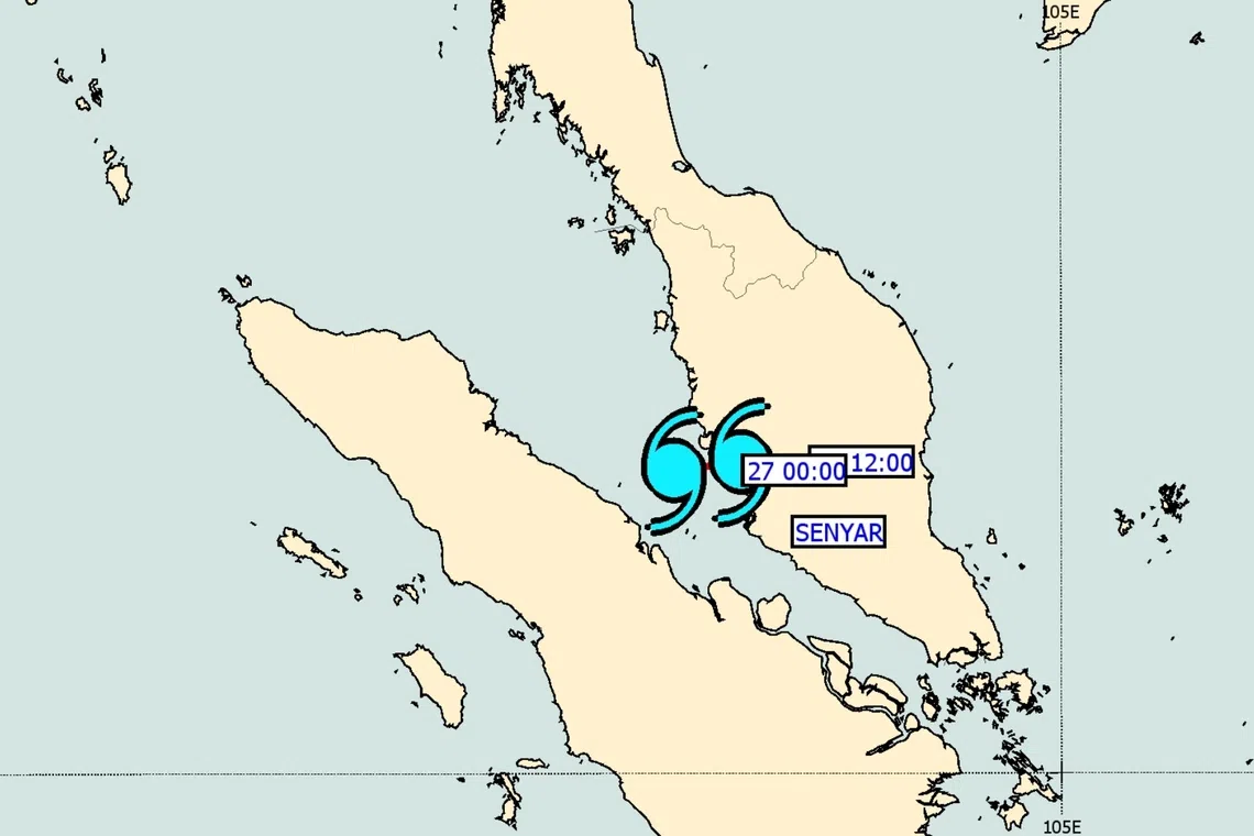
How to Track Malaysia Storms and Rain with Real‑Time Radar
When the monsoon season rolls in, the first thing most Malaysians do is check the sky—often via a phone app or a web portal. But not all weather maps are created equal. A real‑time radar gives you a live pulse of where rain cells are forming, how fast they’re moving, and whether they’ll turn into a full‑blown thunderstorm. Below is a straightforward guide to getting the most out of Malaysia’s radar tools, whether you’re planning a weekend trip, heading to work, or just curious about the next downpour.
What a Real‑Time Radar Actually Shows
At its core, a weather radar emits short bursts of microwave energy that bounce off precipitation particles. The returned signal is then translated into colorful arcs on a screen—green for light drizzle, yellow for moderate rain, and red or purple for heavy downpours. In Malaysia, the most commonly used networks are the Malaysian Meteorological Department (MetMalaysia) radar and the private Radar.gov.my service.
- Range: Typically up to 250 km from the radar site, covering the peninsula and most of Borneo.
- Update Frequency: Every 5–10 minutes, meaning you’re looking at almost live conditions.
- Layers: Some platforms let you overlay satellite imagery, wind vectors, or even flood‑risk zones.
Understanding these basics helps you read the map without over‑interpreting every flicker of colour.
Getting to the Radar Feed
There are three main ways to access Malaysia’s radar data:
- Official MetMalaysia website: Simple, no‑frills interface with a toggle for “rainfall intensity”.
- Mobile apps: MyWeather and Radar Malaysia both push notifications when a storm approaches your GPS‑defined area.
- Third‑party sites: Websites like Windy.com embed the radar and add wind‑speed arrows for extra context.
Pick the option that matches how you like to consume information. If you’re often on the move, a mobile app with alerts can be a lifesaver.
Reading the Radar: Tips and Tricks
Spotting Storm Development
Watch for the “cone of uncertainty” that often appears around high‑intensity cells. When a red patch starts to elongate, it usually means the storm is gaining momentum and may produce strong gusts or hail.
Understanding Movement
Most radars include arrows that indicate the direction and speed of the rain cloud. A short arrow means the system is relatively stationary; a long arrow suggests it will sweep across several districts in an hour or less.
Identifying Localised Showers
In mountainous regions such as Cameron Highlands, rain can be highly localized. Look for small, isolated green or yellow blobs that don’t connect to larger systems—these are often brief, intense showers that evaporate quickly.
Practical Uses for Everyday Life
- Travel planning: Check the radar before a road trip; a sudden red cell near the highway could mean traffic delays.
- Agriculture: Farmers monitor the radar to decide the best time for irrigation or pesticide application.
- Event management: Outdoor event organizers use radar alerts to arrange tents or postpone activities.
Even if you’re just heading out for a jog, a quick glance at the radar can tell you whether you’ll need a waterproof jacket or can enjoy a clear sky.
Common Questions
Q: How far in advance can I rely on radar predictions?
A: Radar shows what’s happening now and a short‑term forecast (up to 30 minutes). For longer‑range outlooks, combine it with satellite images and MetMalaysia’s text forecasts.
Q: Will radar work during heavy cloud cover?
A: Yes. Radar penetrates clouds, so it’s actually more reliable than visual observation when the sky is overcast.
Q: Is there a free way to get push alerts?
A: Both the official MetMalaysia app and several third‑party apps offer free notifications when rain is detected within a user‑defined radius.
Tips for Staying Safe
Storms in Malaysia can bring sudden flash floods, especially in low‑lying urban areas. If the radar shows a fast‑moving, high‑intensity cell heading your way, consider:
- Parking your car on higher ground.
- Avoiding river crossings that may be swollen.
- Checking local news for any emergency advisories.
Remember, the radar is a tool—not a guarantee. Always stay informed through multiple sources if you’re in a high‑risk zone.