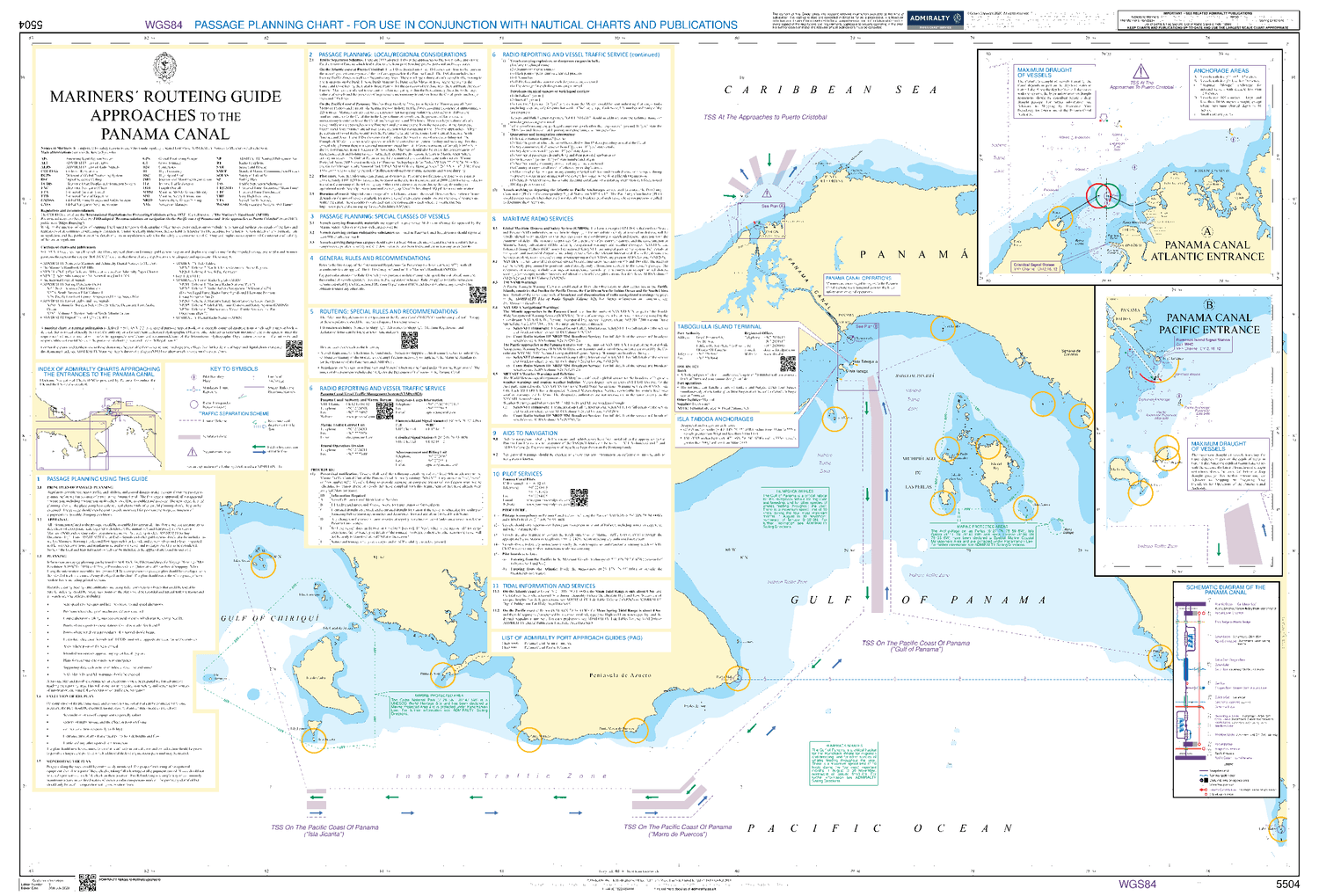
How to Use the Mariner’s Routing Guide: Essentials You Need to Know
Why the Routing Guide Matters
When a vessel slips out of its planned track, the consequences can range from a fuel‑inefficient detour to a costly regulatory breach. The Mariner’s Routing Guide is designed to keep those “what‑ifs” in check by offering a consolidated source of recommended sea lanes, weather considerations, and port‑arrival protocols. In practice, it’s the compass that blends industry best practices with real‑time intelligence.
Components of a Modern Routing Guide
Most commercial guides don’t just list waypoints. They’re structured around a few core sections that help captains and planners make quick, informed decisions.
- Geographical Overview. Maps of major trade routes, including alternative passages for seasonal ice or piracy hotspots.
- Regulatory Summaries. Up‑to‑date zone‑specific mandates—think emission control areas (ECAs) and ballast‑water treatment obligations.
- Weather Integration. Links to meteorological services, with suggested thresholds for wind, swell, and visibility.
- Fuel‑Optimization Tables. Approximate consumption rates for different vessel classes at varying speeds.
Getting Started: Accessing the Guide
Most shipping companies subscribe to a digital platform that hosts the guide. After logging in, you’ll typically see a dashboard with three tabs: “Current Routes,” “Advisories,” and “Historical Data.” The first tab is where you plan a voyage; the second alerts you to unexpected closures; the third lets you compare past performance.
Step‑by‑Step Planning
1. Select departure and destination ports. The system auto‑populates the most common corridor.
2. Adjust for vessel specifics. Input draft, cargo weight, and engine type; the guide tailors speed recommendations accordingly.
3. Review advisories. Look for any temporary restrictions—storm warnings, military exercises, or dredging operations.
4. Save the route. Export it as a GPX file or send it directly to the ship’s ECDIS.
Dealing with Unexpected Changes
No plan survives contact with the sea unchanged. When a weather system veers off the forecast, the guide’s live‑update feature pushes a revised track to the bridge. The key is to treat the suggestion as a baseline, then apply crew experience. For instance, if a sudden squall line appears 30 nautical miles ahead, you might opt for a slightly longer detour that offers calmer seas, even if it adds a few hundred barrels of fuel consumption.
Regulatory Pitfalls to Watch
Skipping the regulatory section can lead to fines that dwarf any fuel savings from a shortcut. Here are the most common oversights:
- Ignoring seasonal ECAs in the North Sea, which can add up to €200 per tonne of sulfur‑heavy fuel.
- Failing to file ballast‑water exchange plans when crossing designated zones, risking penalties of up to $50,000 per violation.
- Overlooking local pilot‑age requirements, especially in congested waterways like the Strait of Malacca.
Cross‑checking each leg of the route against these items saves headaches down the line.
Practical Tips from Seasoned Mariners
Even the most polished guide can benefit from a dash of on‑deck wisdom.
- Keep a margin. Add a 5‑10 % time buffer when plotting through high‑traffic straits; delays are the norm, not the exception.
- Layer your sources. Combine the guide’s weather feed with a satellite service you trust. Redundancy beats reliance.
- Document deviations. A quick note in the ship’s log explaining why you veered off the suggested track helps with post‑voyage audits.
Case Study: A Baltic Winter Crossing
In January, a bulk carrier planned a route from Rotterdam to St. Petersburg. The guide flagged a potential ice jam near the Gulf of Finland, recommending a slower speed and an alternative passage through the Danish Straits. By following the adjusted plan, the ship avoided a three‑day hold‑up and saved roughly 150 tonnes of bunker fuel. The trade‑off was a marginal increase in total distance, but the cost‑benefit analysis—fuel saved versus time lost—tilted decisively toward the guide’s recommendation.
Future Trends: AI‑Assisted Routing
While the current guide relies on human‑curated data, the next wave promises machine‑learning models that predict optimal routes by analyzing centuries of voyage records. Expect features like “auto‑re‑route” when a cyclone forms, or “green‑score” calculations that factor carbon‑offset pricing into the decision matrix. Until those tools become mainstream, the traditional guide remains the backbone of safe, compliant navigation.
Final Thoughts
Using the Mariner’s Routing Guide is less about ticking boxes and more about fostering a habit of proactive planning. When the guide is treated as a living document—updated, cross‑checked, and blended with crew judgment—it becomes a powerful ally against the unpredictable nature of the oceans. The next time you plot a passage, give the guide the attention it deserves; the savings, safety gains, and peace of mind are well worth the few extra minutes spent at the console.
.jpg?VersionId=wwlPX5ycFwLrLr6D4oXOgCaVOX0x.DFj&h=f3e1135c&itok=5Lvge09G)