Inside Juanda Airport Radar: How ATC Manages Surabaya’s Skies
When you glance at the runway lights of Juanda Airport, the sleek towers and the humming of aircraft are just the tip of a far more intricate operation. Beneath the surface, a sophisticated radar network watches every ascent and descent, feeding real‑time data to air traffic controllers who keep the bustling Surabaya airspace orderly. This article pulls back the curtain on the technology, procedures, and day‑to‑day challenges that make Juanda’s radar system one of Indonesia’s most reliable.
Juanda Airport Radar: How It Guides Every Takeoff and Landing
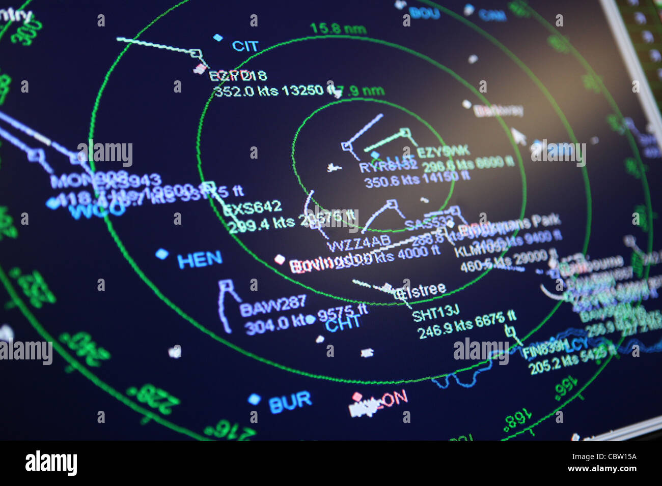
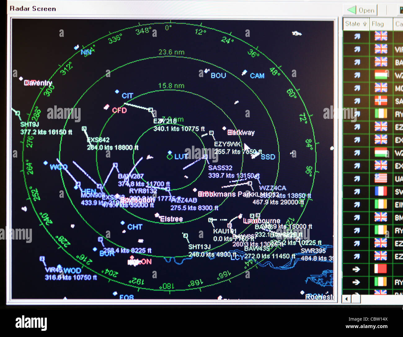
At its core, the system combines primary radar—blasting radio waves that bounce off metal surfaces—with secondary surveillance radar (SSR), which interrogates transponders aboard each aircraft. The primary radar provides raw position data, while SSR adds the aircraft’s identity, altitude, and speed. Together they create a three‑dimensional picture that controllers view on large screens, often called “radar scopes.”
Because Juanda sits near the busy Java Sea corridor, its radar must track everything from commercial jets to low‑level helicopter traffic. The range of the primary antenna stretches roughly 200 nautical miles, enough to see inbound flights well before they enter the terminal area. Meanwhile, SSR ensures that each blip is tagged with a unique squawk code, preventing the dreaded case of “unidentified aircraft” that can trigger emergency procedures.
What Makes Juanda’s Radar System Unique
Unlike smaller regional airports that rely on a single radar unit, Juanda employs a dual‑site configuration. One radar sits atop the main control tower, offering a clear line of sight over the runway. A second, lower‑altitude radar is positioned on the southern hill, filling in blind spots caused by the coastal terrain. This redundancy not only improves coverage but also provides a safety net if one antenna goes offline for maintenance.
The airport’s radar is integrated with the national air navigation service (ANSP) system, meaning data flows seamlessly to Jakarta’s central control center. If a flight needs to be rerouted due to weather or congestion, controllers can coordinate handoffs in real time, minimizing delays. This level of integration is a hallmark of Indonesia’s ongoing push to modernize its air traffic management.
How Controllers Turn Radar Data into Action
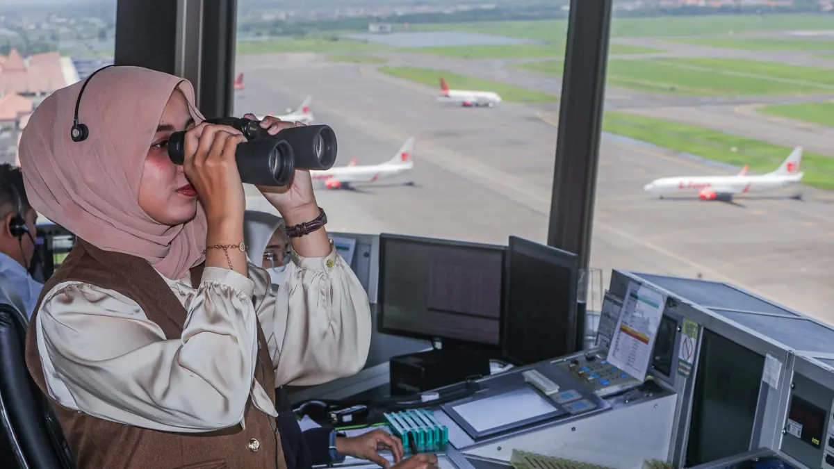
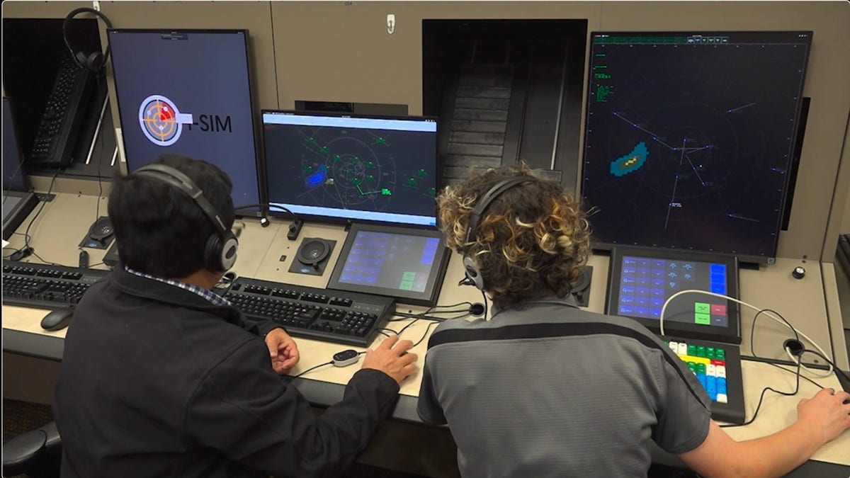
Every controller at Juanda’s tower has a personalized workstation, complete with a radar display, flight strip software, and voice communication equipment. When an aircraft appears on the screen, the controller assigns a flight plan code and a clearance that appears on both the radar and the pilot’s cockpit display via the data link.
One of the less‑obvious tricks involves “conflict detection.” The system automatically highlights potential loss‑of‑separation events—usually when two aircraft come within five nautical miles horizontally and 1,000 feet vertically. The controller then issues a corrective instruction, such as a slight altitude change or a vector turn, before the situation escalates.
Beyond safety, radar also helps manage efficiency. During peak hours, controllers use “stacking” techniques, assigning altitude levels to arriving flights so they can queue safely. By adjusting the spacing based on radar feedback, they can keep the runway busy without compromising safety.
Challenges of Managing Busy Airspace
Surabaya’s weather patterns add a layer of complexity. The monsoon season brings low clouds and sudden thunderstorms, forcing pilots to rely heavily on instrument flight rules (IFR). In those conditions, radar becomes the primary source of situational awareness, as visual cues fade.
Another challenge is the mix of aircraft types. Heavy jets like the Boeing 777 have different climb and descent profiles compared to regional turboprops. Controllers must juggle these varying performance characteristics, often using radar‑derived speed and altitude trends to predict where each aircraft will be in the next few minutes.
Finally, the ever‑growing traffic volume pushes the radar’s processing limits. While the hardware can technically handle more blips, the human factor—maintaining clear communication and avoiding overload—remains a critical bottleneck. Ongoing training programs focus on decision‑making under pressure, ensuring that controllers can extract the right information from the radar without missing a beat.
Future Upgrades and Modernization Plans
Indonesia’s aviation authority has earmarked funds for a phased upgrade of Juanda’s radar to an Automatic Dependent Surveillance‑Broadcast (ADS‑B) system. Unlike traditional radar, ADS‑B relies on GPS data transmitted directly from the aircraft, offering higher accuracy and lower latency. The transition will be gradual, with both systems running in parallel for several years.
In addition to ADS‑B, plans include a move toward a fully digital tower concept. This would replace many analog screens with high‑definition, touchscreen interfaces, allowing controllers to overlay weather radar, flight‑plan data, and even satellite imagery on a single pane. Such integration promises to reduce the cognitive load and further improve response times.
While technology will evolve, the core principle stays the same: a clear, continuous picture of every aircraft’s position is essential for safety. Whether it’s a Boeing 737 climbing out of Terminal 1 or a medical evacuation helicopter landing on the helipad, the radar’s unblinking eye remains the silent guardian of Juanda’s airspace.
Frequently Asked Questions
- What is the difference between primary radar and secondary surveillance radar at Juanda? Primary radar detects aircraft by bouncing radio waves off their metal bodies, giving a raw position. Secondary surveillance radar queries the aircraft’s transponder, adding identity, altitude, and speed to the picture.
- How does Juanda handle radar outages? The dual‑site configuration provides redundancy; if one antenna fails, the other can still cover most of the airspace while maintenance crews repair the fault.
- Will ADS‑B replace traditional radar entirely? Not immediately. ADS‑B will complement radar, offering finer resolution and better coverage, but conventional radar will remain as a backup for years to come.
- Can pilots see the same radar data as controllers? Pilots receive a limited subset via the aircraft’s Traffic Collision Avoidance System (TCAS) and, eventually, through ADS‑B‑in‑flight displays, but they do not have the full controller radar view.